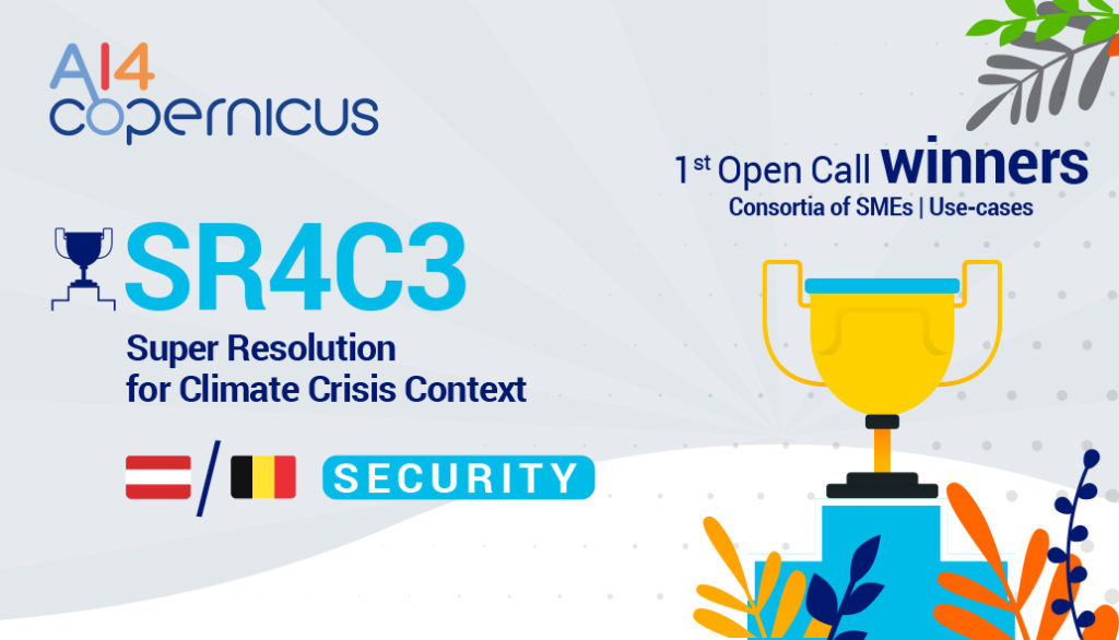
SR4C3 – Super Resolution for Climate Crisis Context
Winning project from the 1st Open Call funded by the AI4Copernicus Project
Companies: SISTEMA GmbH / cmc-consulting (Conflict Management Consulting – CMC)
Countries: Austria / Belgium | Domain: Security
An interview with the winners – Marco Folegani, representing the SR4C3 project
Q: What is the purpose of your proposal?
A: The motivation for creating this project was to bring innovation into the Security domain by using the Artificial Intelligence (AI) applied to satellite data into a sector that is still very linked to locally-collected information.
Q: Which is the most critical impact (societal or other) that your project could make (if you could name one)?
A: Using the Earth Observation in an innovative way through the AI algorithm and using it to assess the environmental damaged in conflict zones can help magnifying the underlying humanitarian, peace and security implications and better understand any conflict – driven environmental damage.
Moreover the use of satellite data allows minimizing the collection of local information, reducing costs and risk in conflict scenarios.
Q: Considering the recent funding received through the AI4Copernicus Open Calls, do you have any plans for further development of your idea?
A: The project will allow demonstrating the effectiveness of the approach over two test cases. The direct evolution is to generalize the tool to make it applicable worldwide and to a wider range of situations.
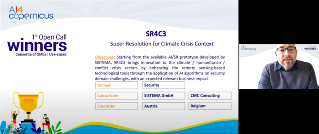
Abstract of the project: The “Super Resolution for Climate Crisis Context – SR4C3” proposed action is coordinated by SISTEMA GmbH and aims at bringing innovation to the climate crisis sector by enhancing the remote sensing based technological tools through the application of Artificial Intelligence (AI) algorithms on security domain challenges, with the support of the Conflict Management Consulting – CMC company. The integration of Earth Observation (EO) satellite data in the usage of new Super Resolution (SR) AI-based applications is particularly crucial for better information gathering and assessments in conflict or crisis affected areas otherwise largely inaccessible, to effectively contribute to global stability and peace. In particular, the combination of AI-based SR tool with Copernicus satellite data can support crisis response to flash flood disaster and conflict monitoring in the West Darfur (Sudan), a fragile geographic area in terms of many security. Starting from the available AI/SR prototype developed by SISTEMA, the SR4C3 methodology is planned to be launched as innovative and scalable service with an expected relevant business impact, in creating value propositions and awareness, by allowing an automatic increase of the EO data resolution and improving the potential geospatial intelligence output. The AI technology transfer to the security application domain, is guaranteed by high-tech application components docker-based cloud services as infrastructure and AI4EU, CREODIAS at data access level.