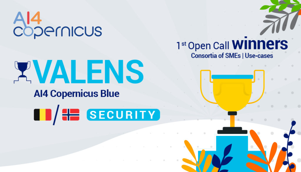
VALENS – AI4Copernicus Blue
Winning project from the 1st Open Call funded by the AI4Copernicus Project
Companies: Lelieur BV / VAKE AS / NSAS BVBA (North Sea Aviation Services)
Countries: Belgium / Norway | Domain: Security
An interview with the winners – Benoit Hellebuyck, representing the VALENS project

Q: What was your motivation for creating this proposal?
A: The AI4Copernicus accelerator is a tremendous opportunity for both Belgian Shipdetection.eu and Norwegian Vake to engage with the Ostend surveillance company North Sea Aviation Services to perform better guided patrols with DA62 MPP planes. The AI4C support allows us to continue our AI research and the accelerated commercial implementation of our solution. The Copernicusblue.eu consortium was eager to continue collaborating after successfully completing the H2020 Parsec accelerator last year.
Q: Which is the most critical impact (societal or other) that your project could make (if you could name one) ?
A: The Copernicusblue.eu project provides a solution for 3 segments: (1) to support coastal administrations, NGO’s and fishery directorates to stop illegal fishing, (2) the surveillance of offshore infrastructure, mainly to protect electricity & telecom cables and oil & gas pipelines from damage from anchors or fishing gear, and (3) to support coast guards with search and rescue operations.
Q: Considering the recent funding received through the AI4Copernicus Open Calls, do you have any plans for further development of your idea?
A: Shipdetection.eu continues to develop towards a “Maritime Drone/Plane Management Platform” giving oversight of both marine, plane and drone activities in one platform for legal, safe, intelligent and efficient maritime patrols.
VAKE will support and further develop the augmentation of Maritime Situational Awareness through automated analysis and vessel detections from satellite imagery and other satellite data sources. By correlating these detections with AIS tracks, Vake will further improve on the ability to plan and act upon dark vessel alerts and other maritime activity for controls and patrols.
NSAS is developing solutions for the remote operation of the camera detection system to lower the workload of the pilot and crew to increase safety and improve detection capabilities.
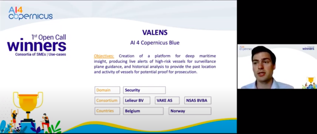

Abstract of the project: The main ambition of the project is to create a platform for deep maritime insight, producing live alerts of high-risk vessels, and historical analysis to provide the past location and activity of vessels for potential proof for prosecution. Satellite imagery and satellite Radio Frequency (RF) surveillance is used for detections of hotspots and guidance on where this activity is happening by Vake and Lelieur. Whereas the inspection, reconnaissance and in-situ video collection are a part of the operational services being delivered by North Sea Aviation Services (NSAS, low tech SME). The VALENS consortium aims to showcase the power of data fusion, combining earth observation data from Sentinel-1, Sentinel-2, SAT-AIS, and satellite geo-location of Radio Frequency (RF) transmissions for improved intelligence and guidance of airplanes and drone patrols. The tools supplying alerts and locations of marine assets will be provided in containerised APIs which virtual drone/plane control towers can ingest. It will provide oversight, tracking, alerts, and guidance of marine operations in a GIS interface (e.g. patrols, drone deliveries, wind turbine or submarine cable inspections), essentially creating a novel virtual marine & airspace control tower.